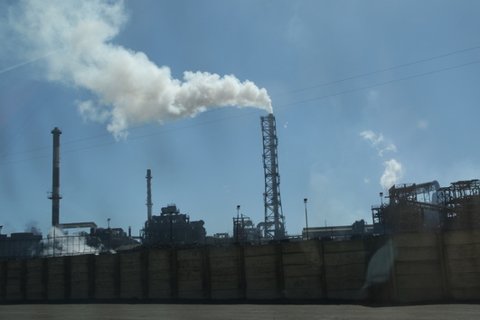
We left mid morning from Alto Patache and drove the windy isolated route 1 along the rocky, dry Pacific coast passing through Tocopilla, Antofagasta and stayed the night on the beach in Taltal (because all the hostels were full of miners). We were struck by the complete isolation and near lack of human presence interspersed with massive industrial export and processing facilities periodically found along the coast.
Massive industrial facility at La Negra.
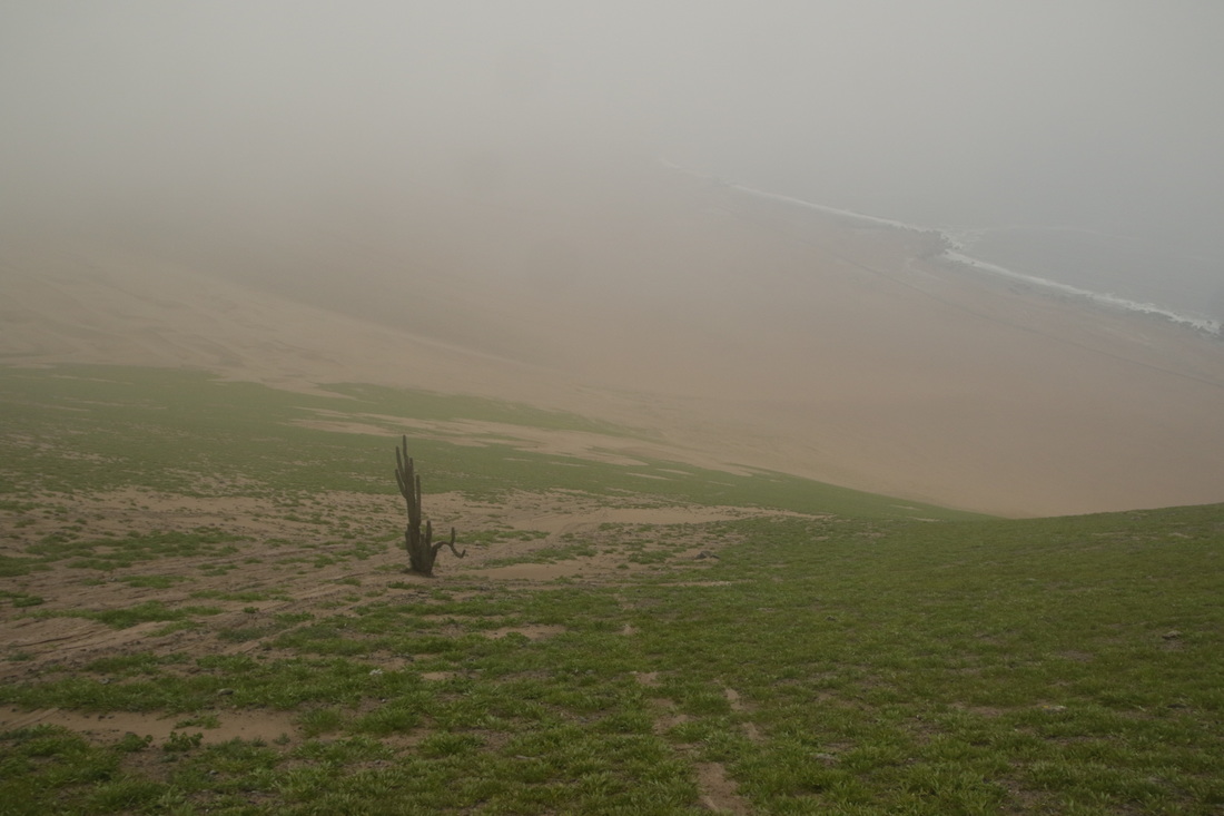
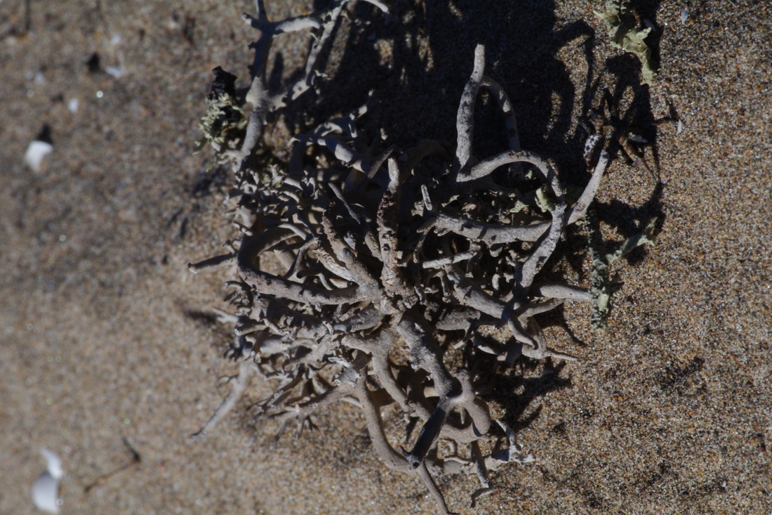
We also noticed more and more cacti and shrubs appear on the coastal mountain slopes as we headed south, indicating an increase in rain fall frequency.
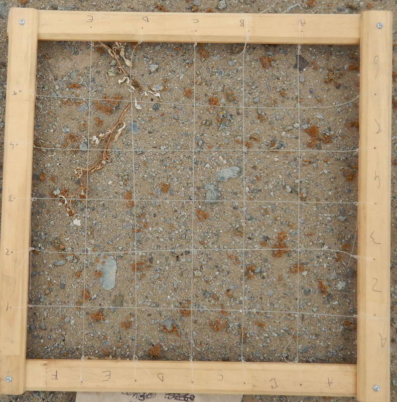
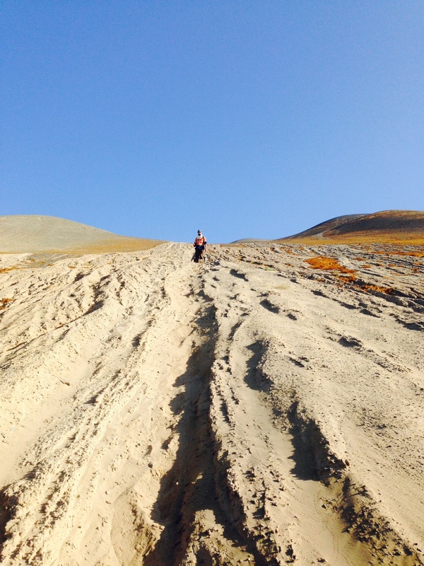
After our night in Taltal, we headed south another 280 km to Pan de Azucar. We met the park rangers on a very barren stretch of route 5 (the main inland road) and drove off into the desert to ascend the backside of a prominent ridge adjacent to the ocean. Most of the major access roads into the park had been destroyed by heavy rains in March, 2015 making our access into the interior of the park all the more fortunate.
After our night in Taltal, we headed south another 280 km to Pan de Azucar. We met the park rangers on a very barren stretch of route 5 (the main inland road) and drove off into the desert to ascend the backside of a prominent ridge adjacent to the ocean. Most of the major access roads into the park had been destroyed by heavy rains in March, 2015 making our access into the interior of the park all the more fortunate.
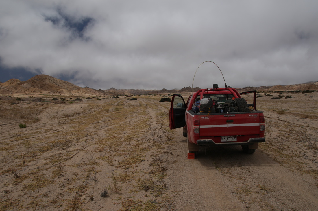
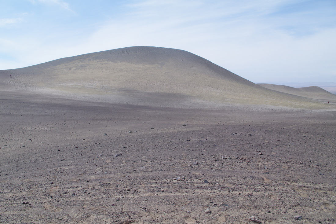
Our vehicle along the Aguada Blanca enroute to the top of the ridge
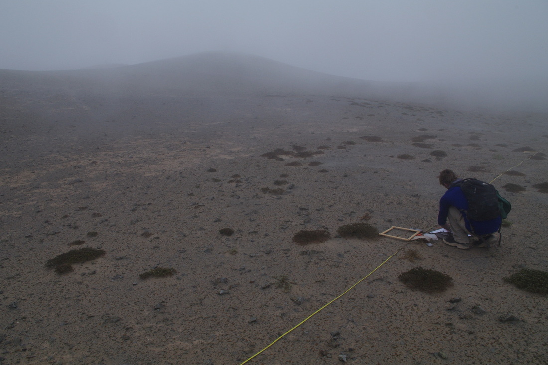
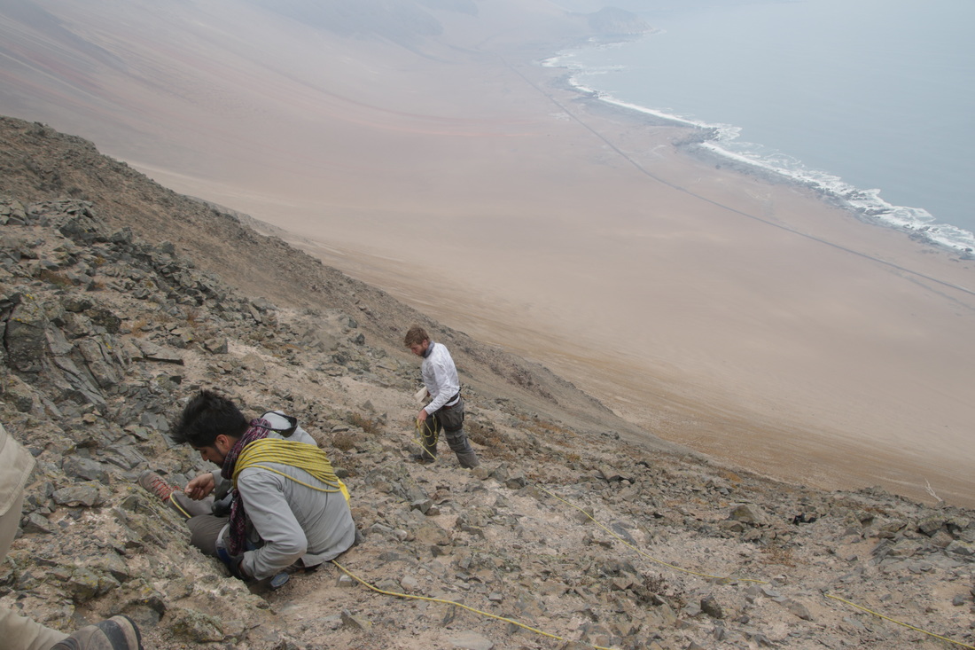
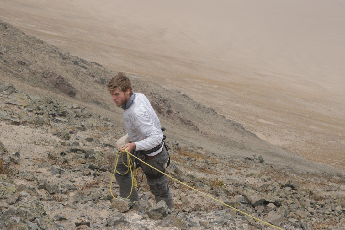
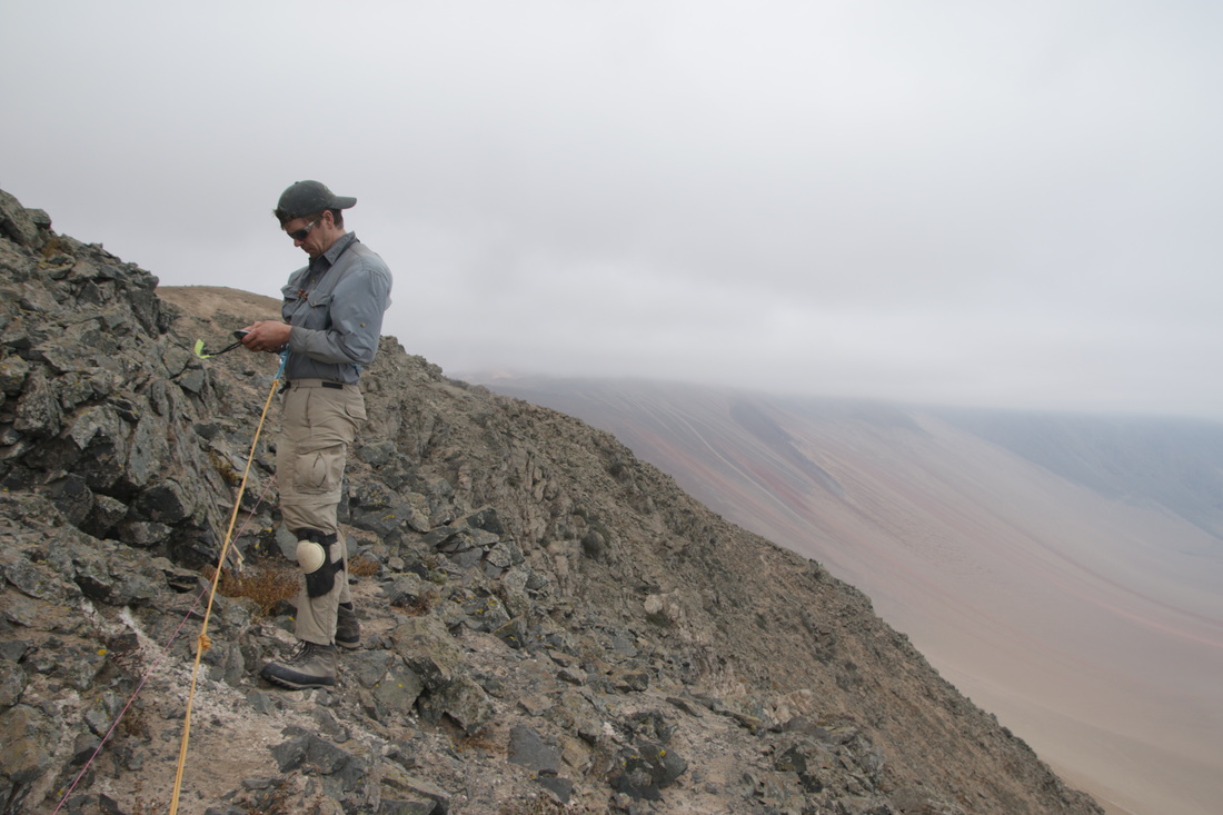
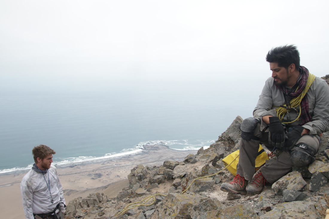
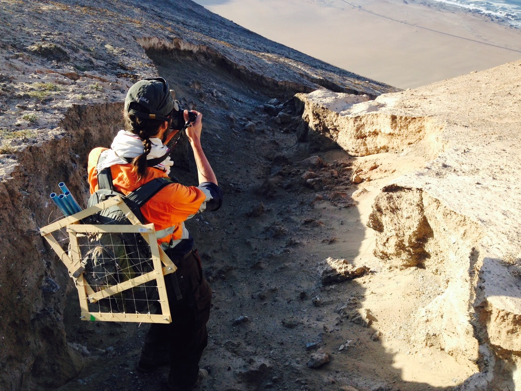
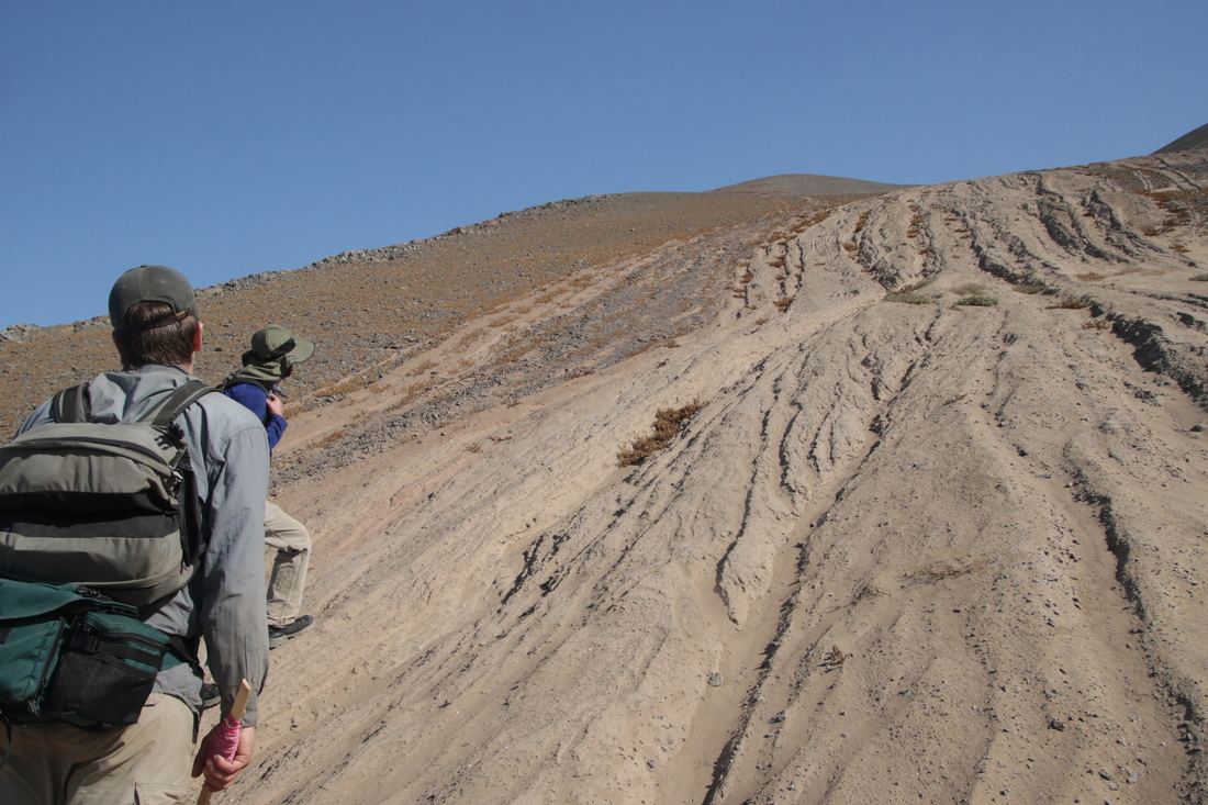
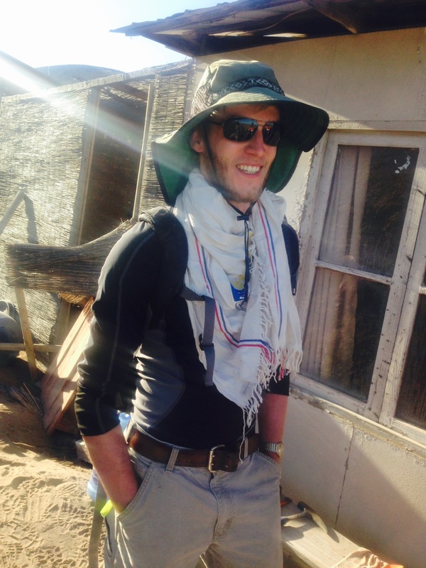
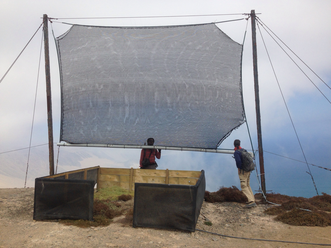
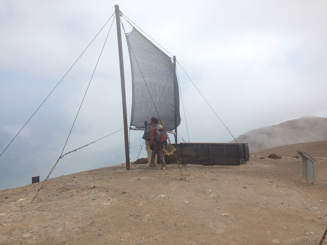
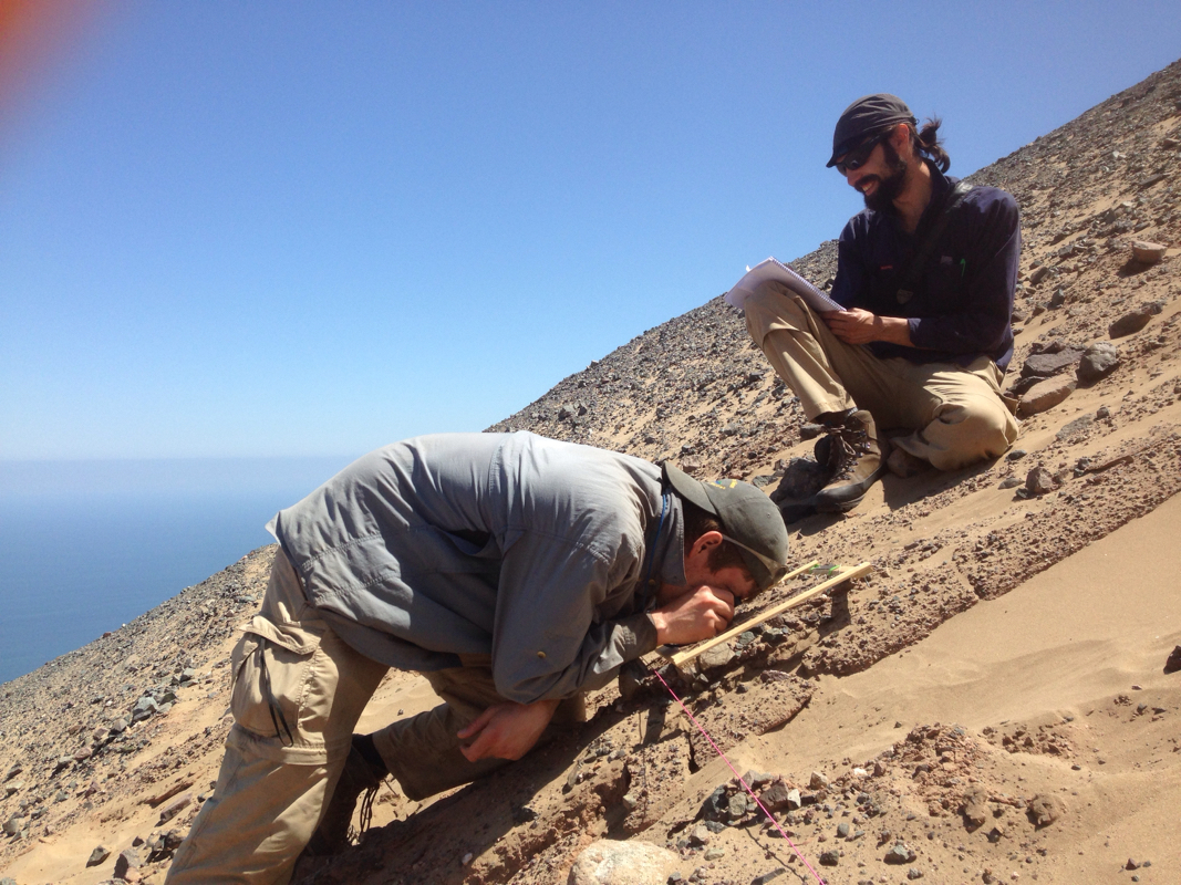
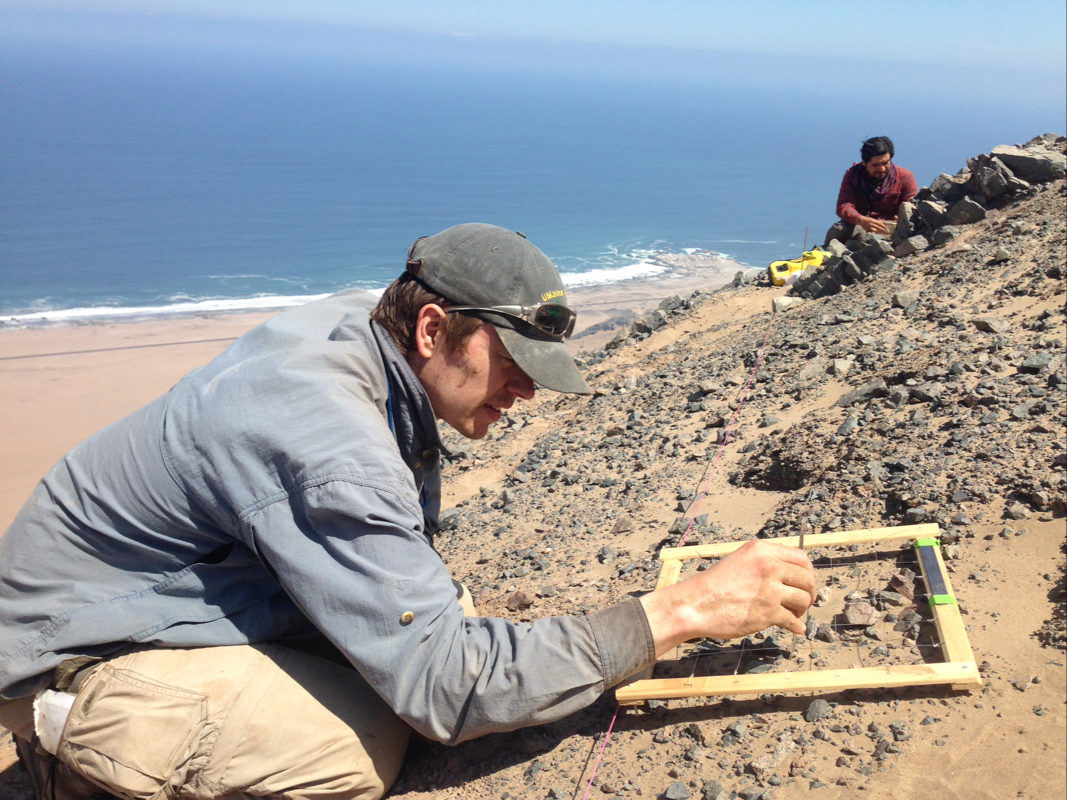
We drove a hour through increasingly diverse cacti and shrub communities up into the fog, catching glimpse of several guanacos (a wild relative of llamas). At the top of the ridge, we arrived at an amazing view off a 800 m extremely steep face towering over the ocean below. We gave a short talk on our research to the student interns and park rangers at the top of the ridge. The park rangers were generous and allowed us to use their backcountry cabin during our work there.
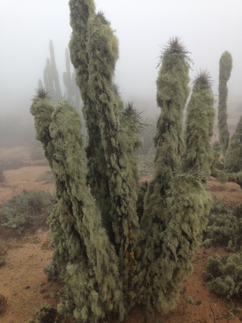
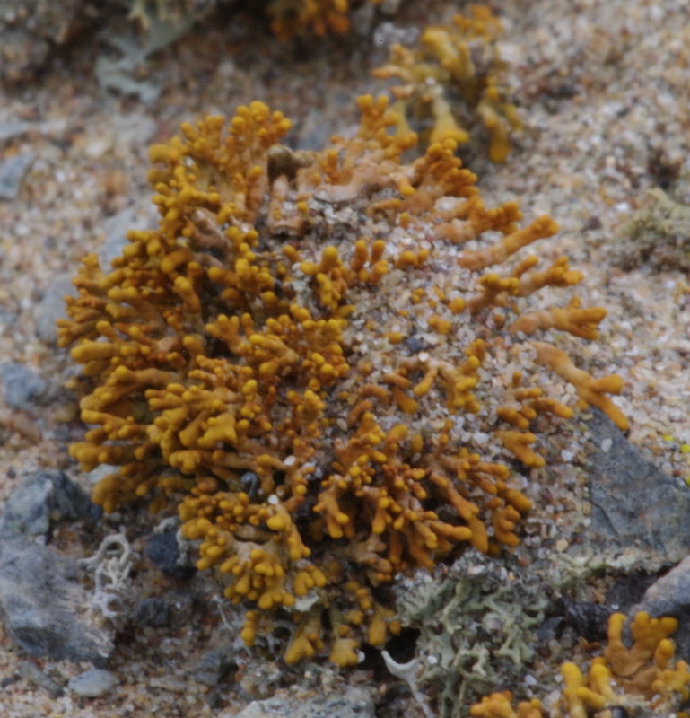
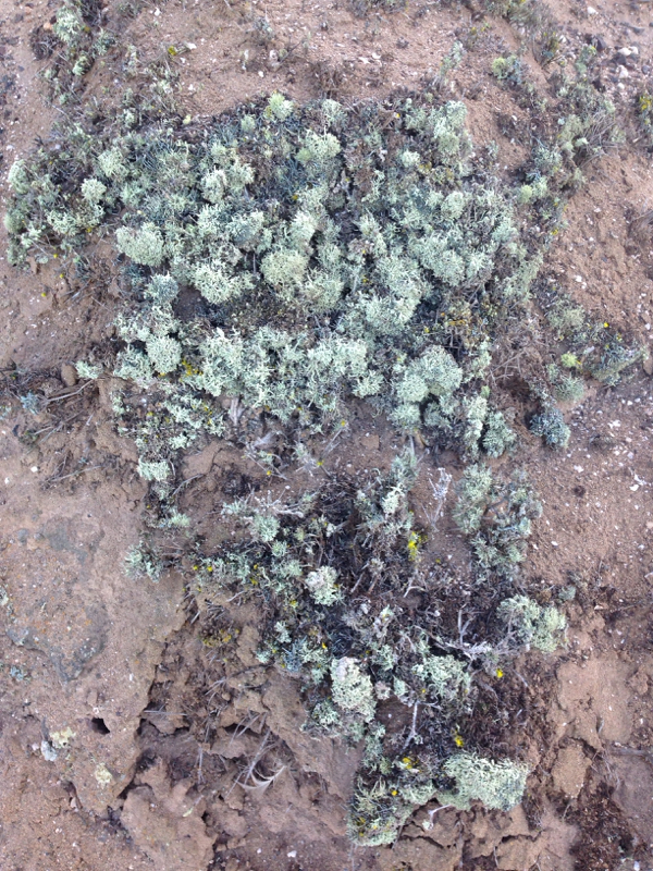
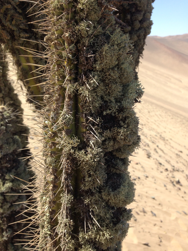
Lichen covered Eulychnia cacti near ranger cabin
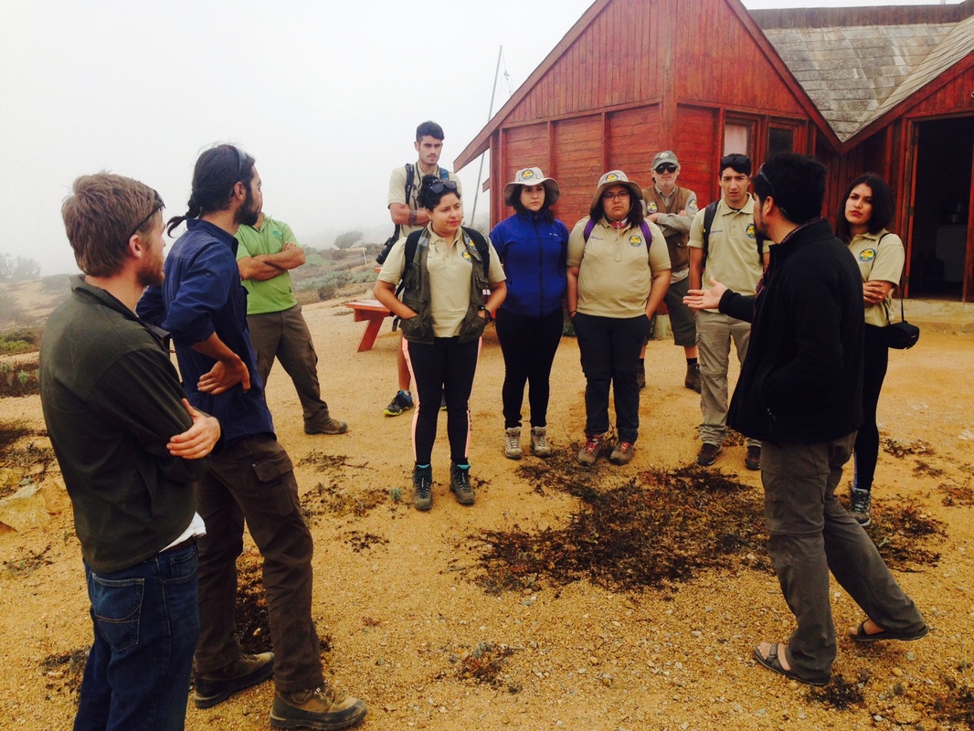
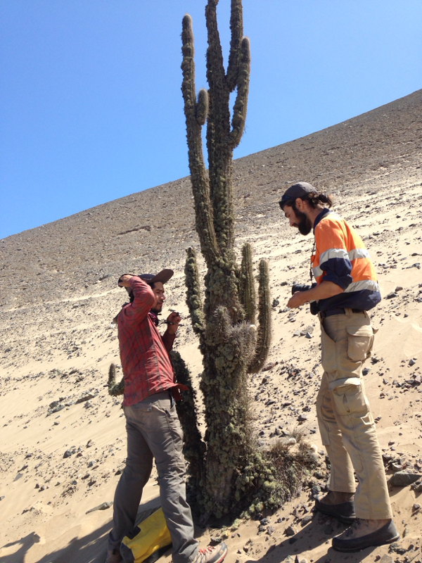
Reinaldo and Daniel talk to ecotourism interns working at Pan de Azucar National Park
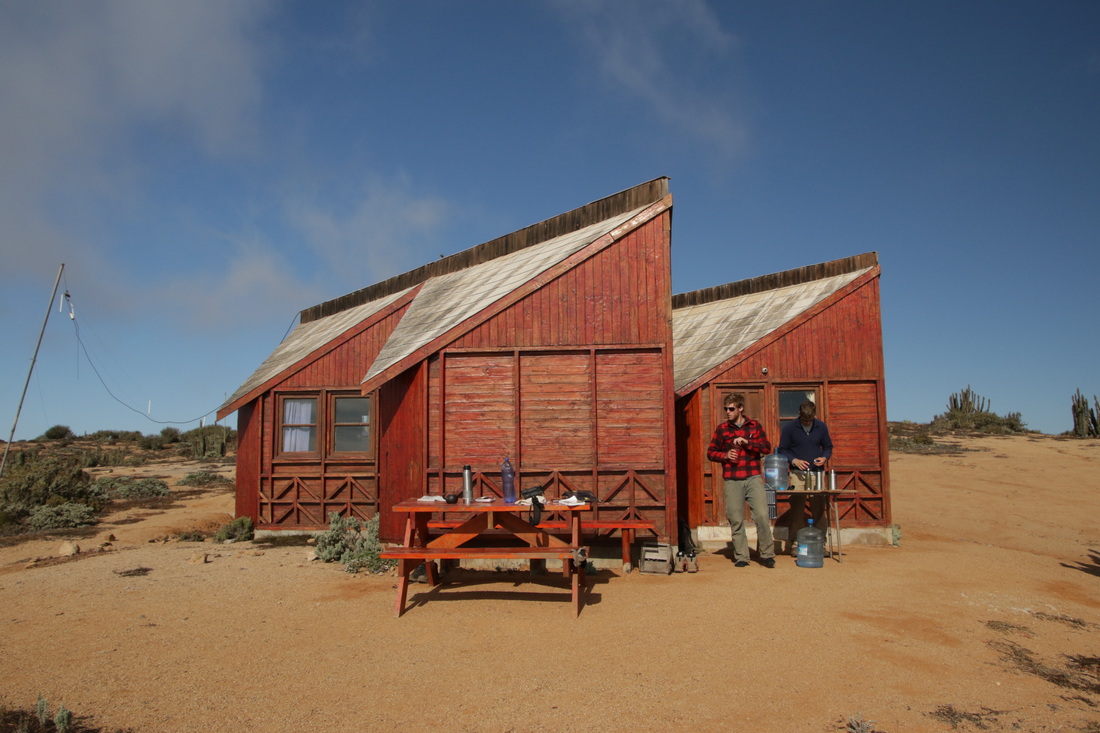
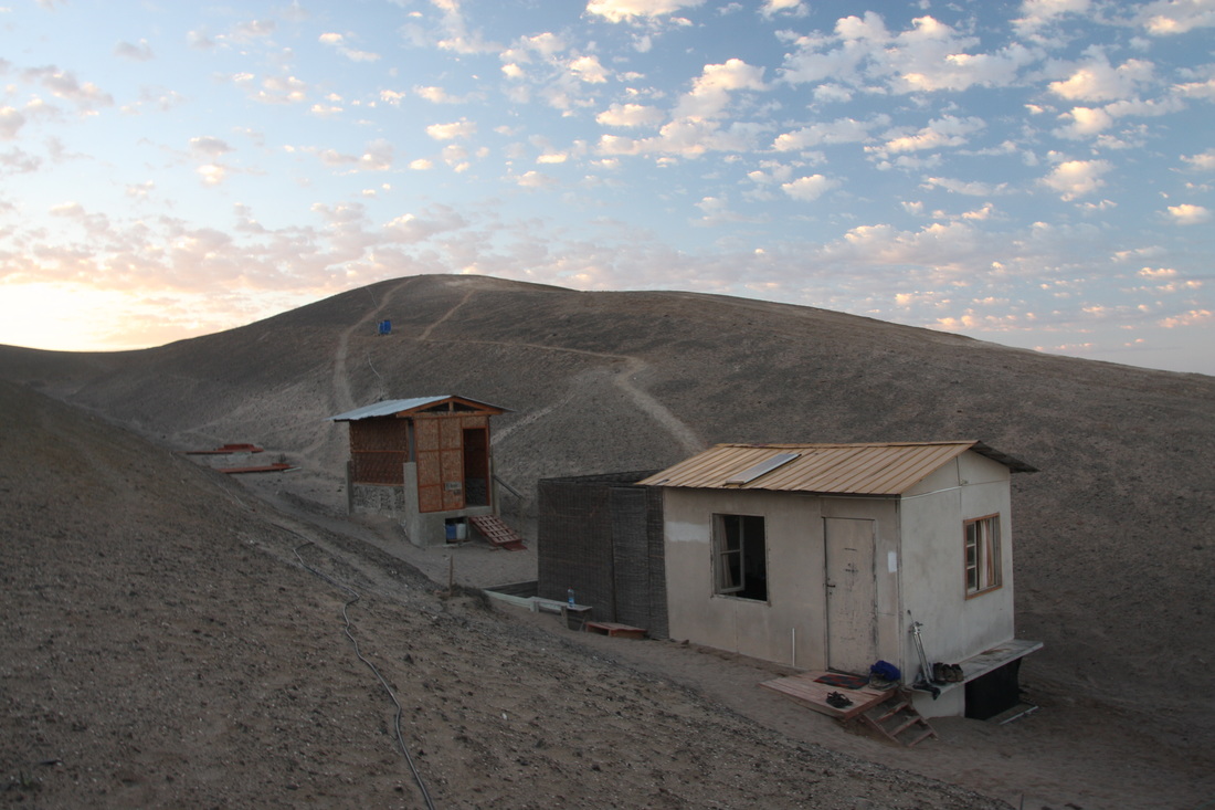
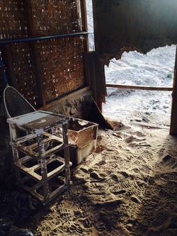
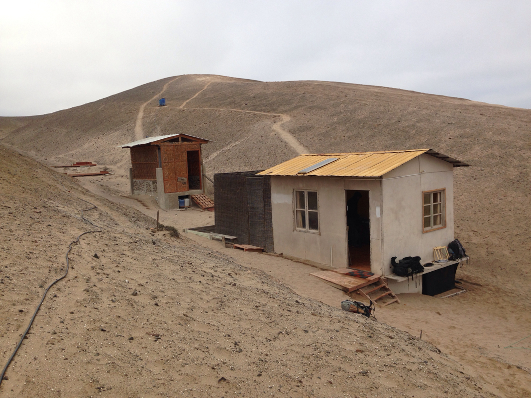
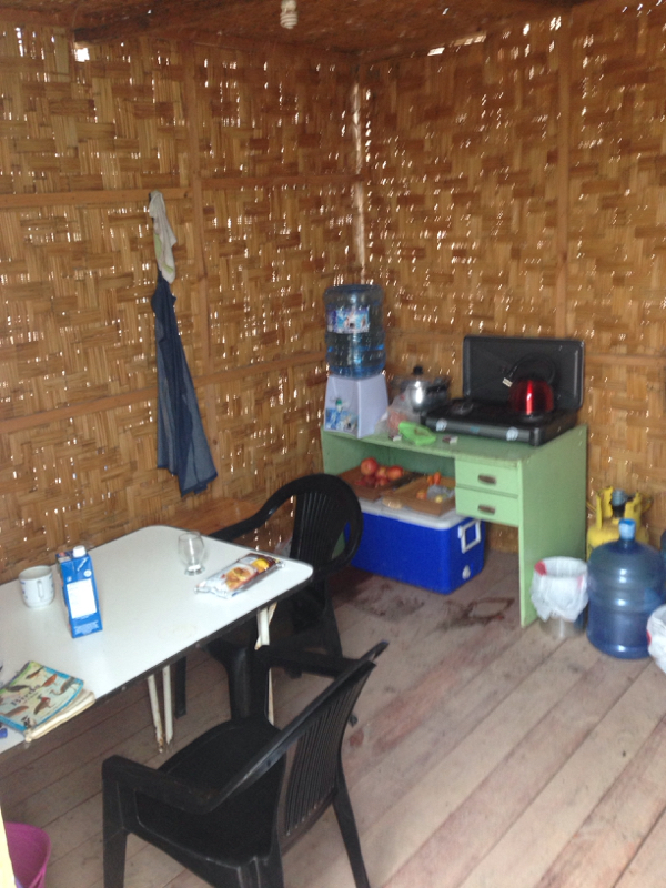
Ranger cabin we used for four days at the top of the ridge overlooking the Pacific ocean ... terrible accommodations, we know.
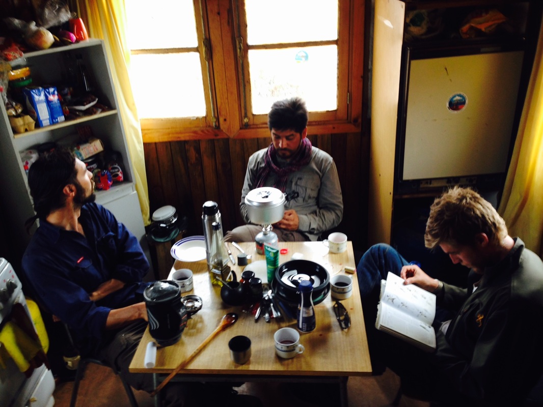
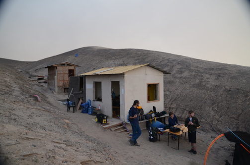
The team getting ready to go into the field for the day over coffee and breakfast.
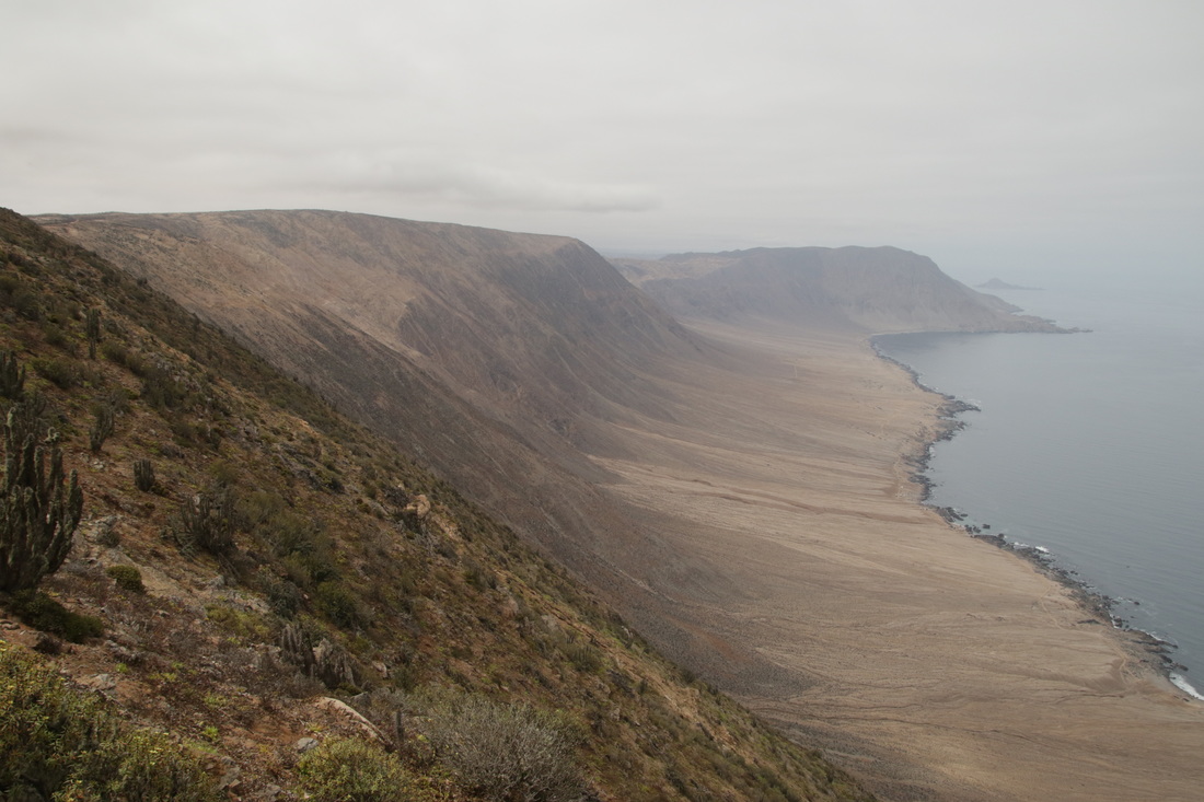
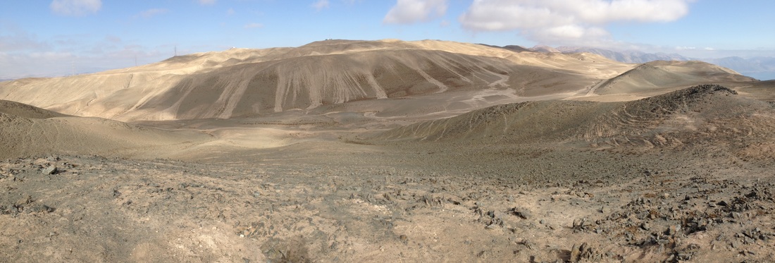
View from the near the cabin looking south along the steep ridge along which we installed our transects at Pan de Azucar.

 RSS Feed
