This year we are sampling lichens again at Alto Patache along the elevation gradient from 300-750 m elevation along a rocky cliff area west of the slope we sampled last year. The goal is to measure lichen communities, traits and genetic variation in a few species as fog deposition changes with elevation. We will sample lichens along 50 m long transects in small quadrats spaced every 5 m. This year we brought a student from the University of Maine-Fort Kent, Jesse Rochester, to help with the field work and get experience doing field research. Our first day, we sampled the 750 m elevation transect (see pics below).
This year we are also expanding our sampling south of Alto Patache. As one heads south, rain events become more common, happening every 3-5 yrs at the southern end of our study area 800 km south of Alto Patache (see figure below). However, the fog still comes off the ocean up and down the coast and creates oases of vegetation that are nourished and exist because of the additional moisture. Our larger goal is to understand how fog (frequent but low volume moisture) interacts with the rain (infrequent but higher volume precipitation) to influence the vegetation communities, with a focus on lichens. To do this, once we finish at Alto Patache this year, we will drive south and set up similar transects in the National Parks of Pan de Azucar and Llanos de Challe.
This year we are also expanding our sampling south of Alto Patache. As one heads south, rain events become more common, happening every 3-5 yrs at the southern end of our study area 800 km south of Alto Patache (see figure below). However, the fog still comes off the ocean up and down the coast and creates oases of vegetation that are nourished and exist because of the additional moisture. Our larger goal is to understand how fog (frequent but low volume moisture) interacts with the rain (infrequent but higher volume precipitation) to influence the vegetation communities, with a focus on lichens. To do this, once we finish at Alto Patache this year, we will drive south and set up similar transects in the National Parks of Pan de Azucar and Llanos de Challe.

First day of work. Looking south along the Pacific coast as we work on the transect at 750 m elevation. Daniel, Jesse and Peter are visible in the photos.
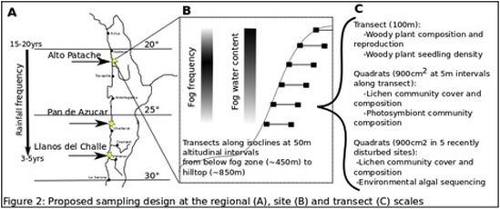
Diagram showing relationship between fog and rain frequency along the Chliean coast.
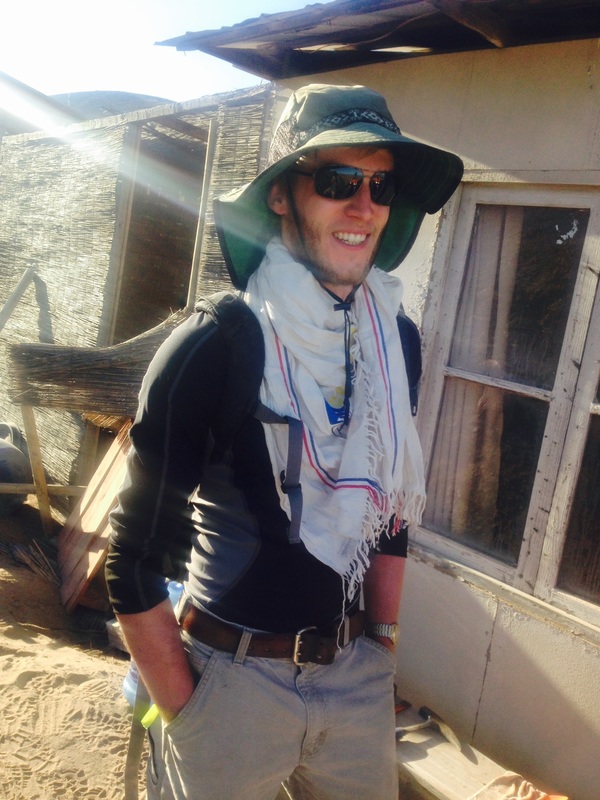
Jesse Rochester, the undergraduate Biology student from the University of Maine-Fort Kent, who is helping with the project this year.
 RSS Feed
